Diaporama OSTWALD ANTAN
Cliquer sur une image pour l'agrandir
Plans et cartes
|
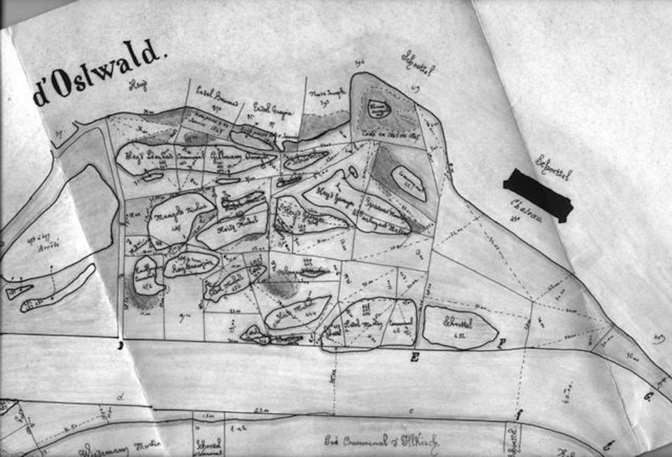
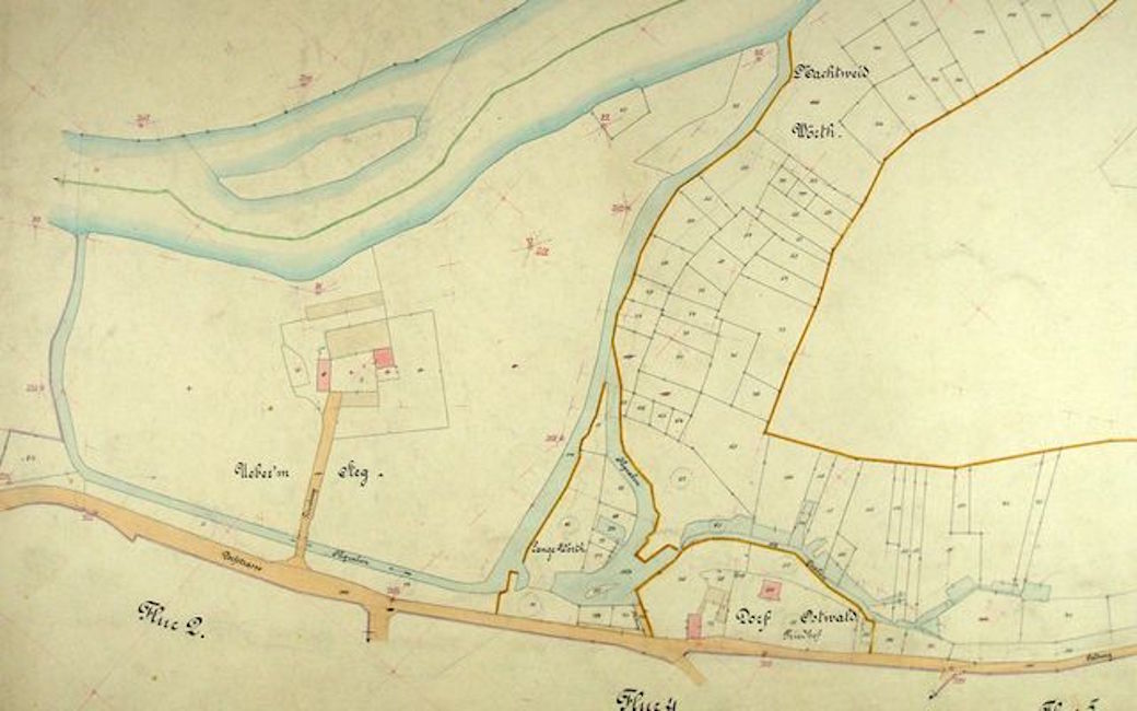
- Carte du Service des eaux - Regulation du cours de l Ill - 6 |
|
- cg_07.jpg - 7 |
|
- cg_08.jpg - 8 |
|
- cg_09.jpg - 9 |
|
- cg_10.jpg - 10 |
|
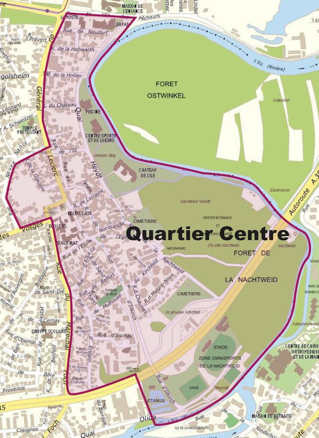
- Ville Quartier Centre - 432 |
|
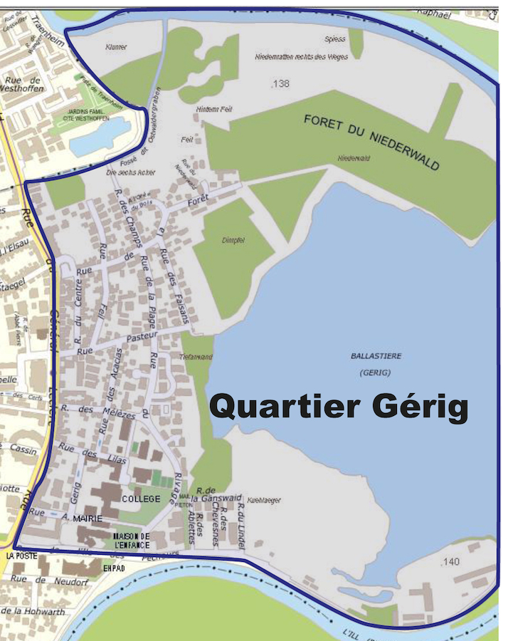
- Ville Quartier Gerig - 433 |
|
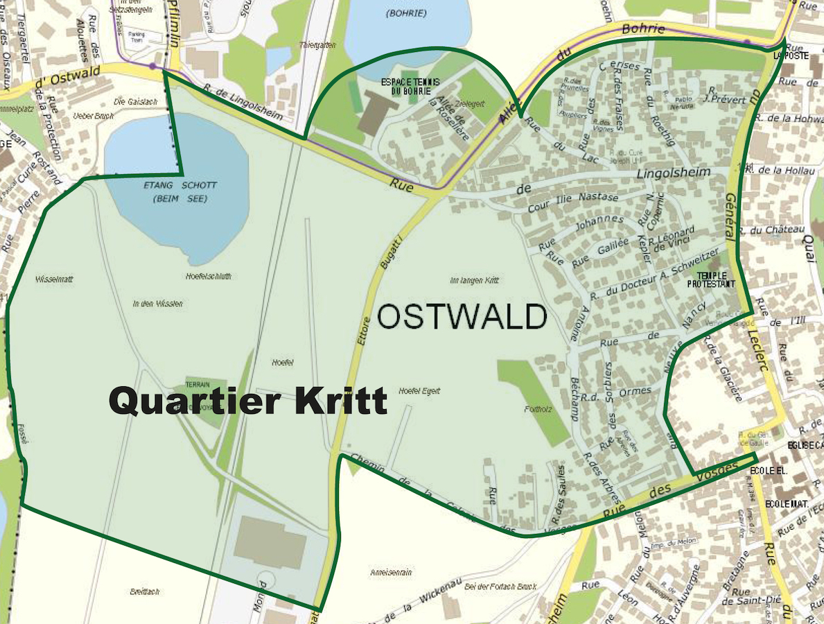
- Ville Quartier Ktitt - 434 |
|
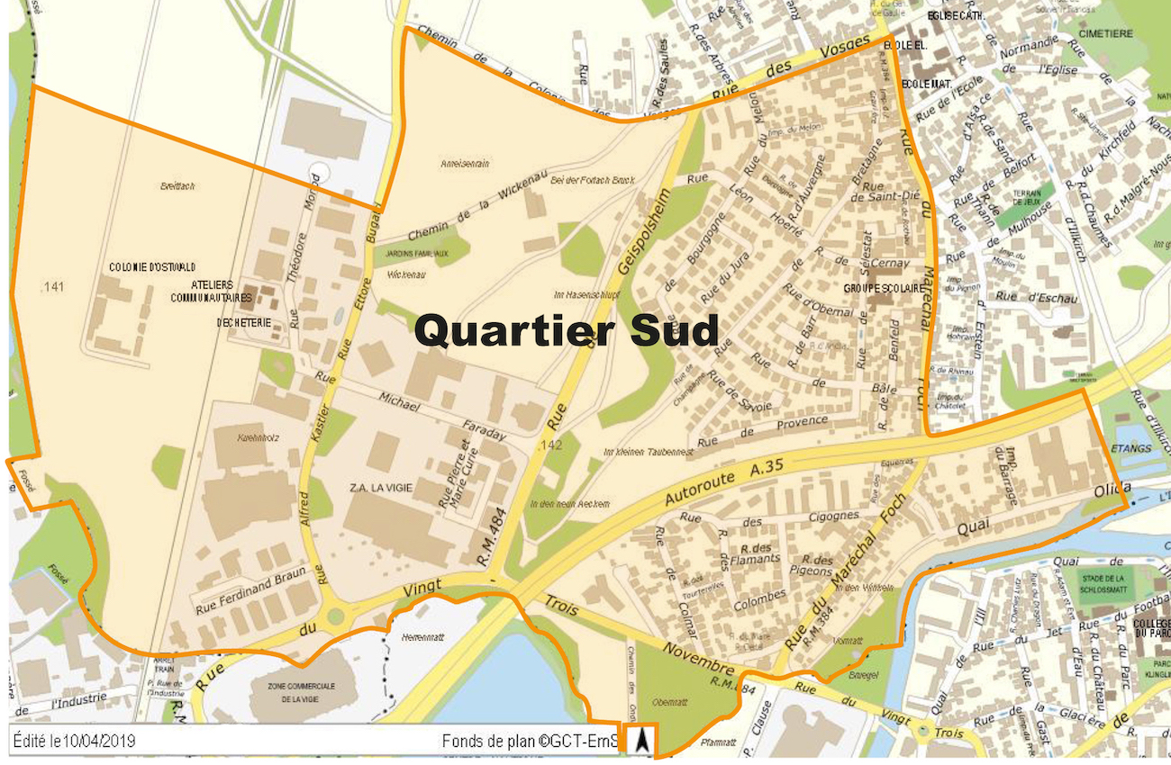
- Ville Quartier Sud - 435 |
|
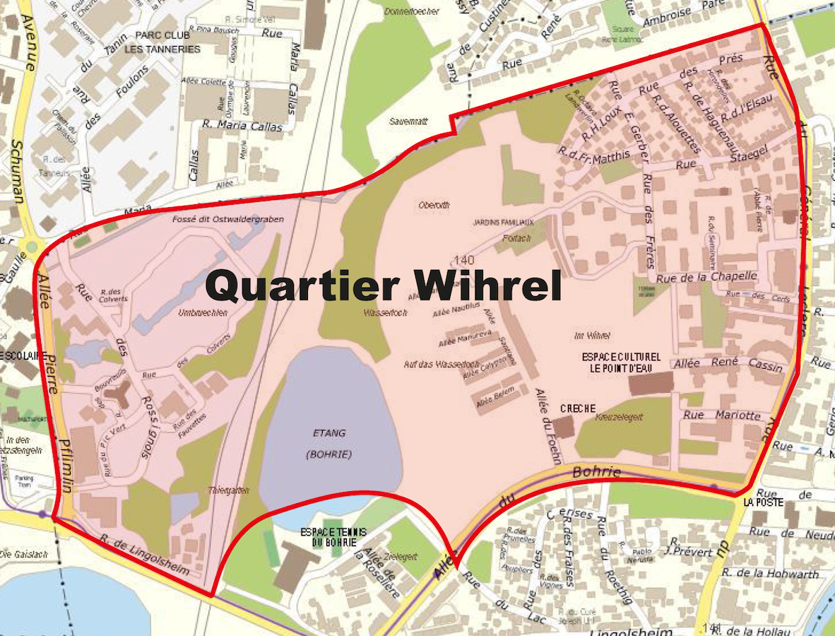
- Ville Quartier Wihrel - 436 |
|
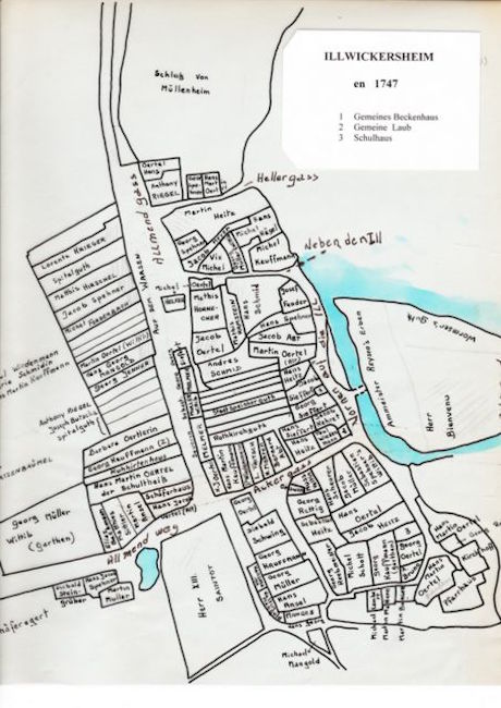
1747 - Illwickersheim - gravure de 1747 - 1 |
|
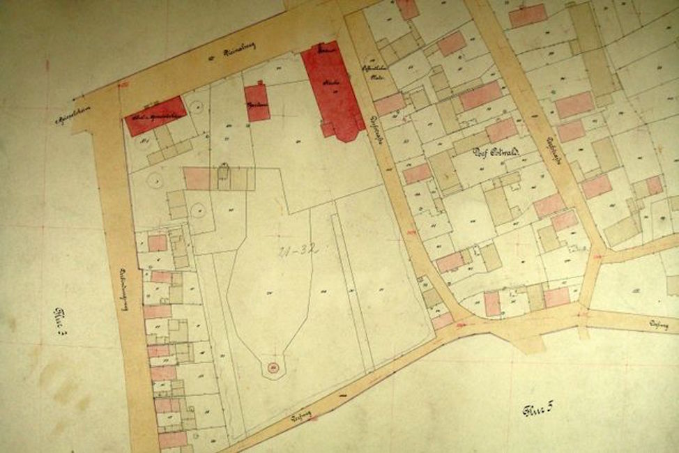
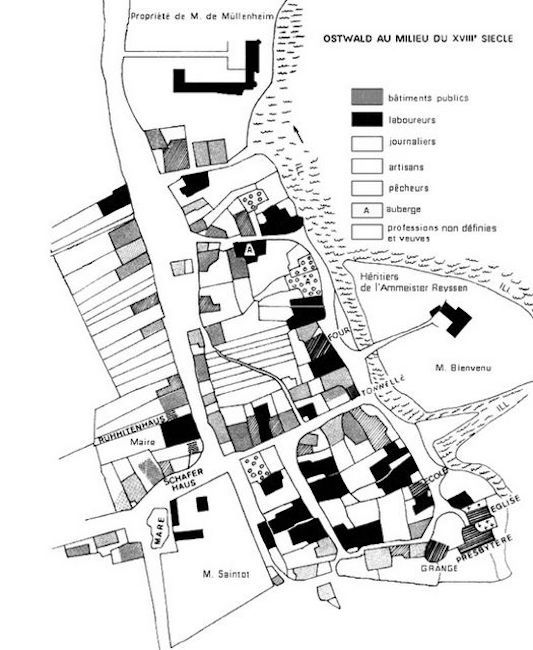
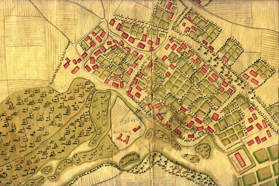
1750 - Ostwald mi-XVIIIe s. - 11 |
|
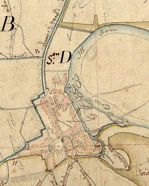
1751 - Carte d'Illwickersheim - 1751 - Fritsch JC - 2 |
|
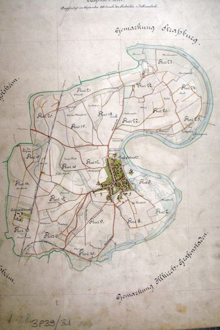
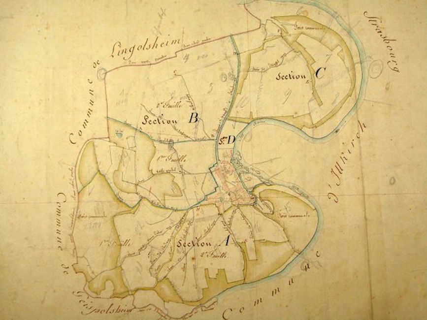
1824 - Ostwald en 1824. - 3 |
|
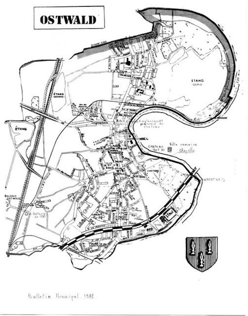
1978 - Plan d'Ostwald - 1978 - 4 |
|
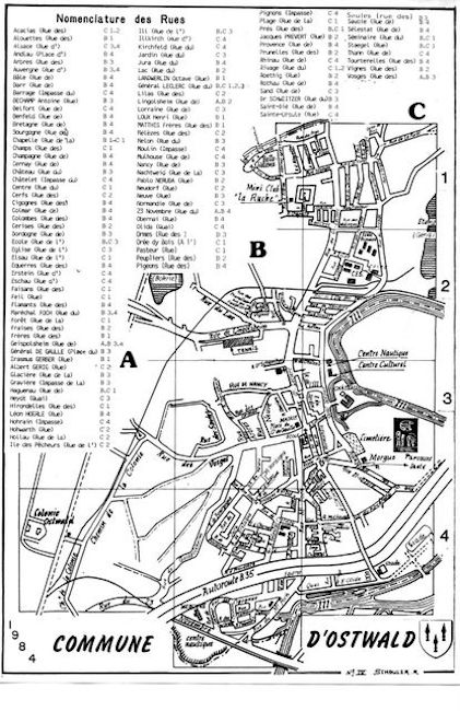
1984 - Plan d'Ostwald - 1984 - 5 |
|
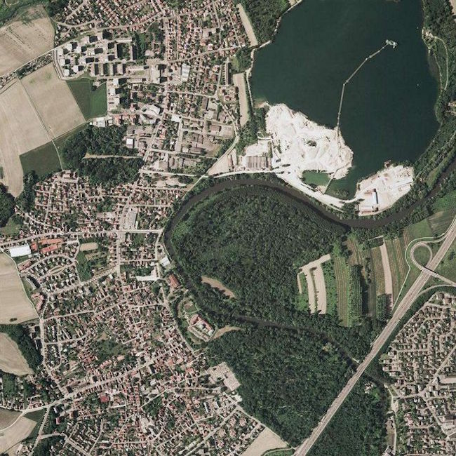
Année ? - OSTWALD image satellite - 381 |